Our Services
Performed with FARO, Matterport, and DJI scanning technology
From comprehensive point cloud documentation to immersive virtual tours, 720 Scanning provides end-to-end reality capture solutions. Our 3D Scanning Engineers handle the technical work, delivering precise, actionable data tailored to your project needs.
Point Clouds
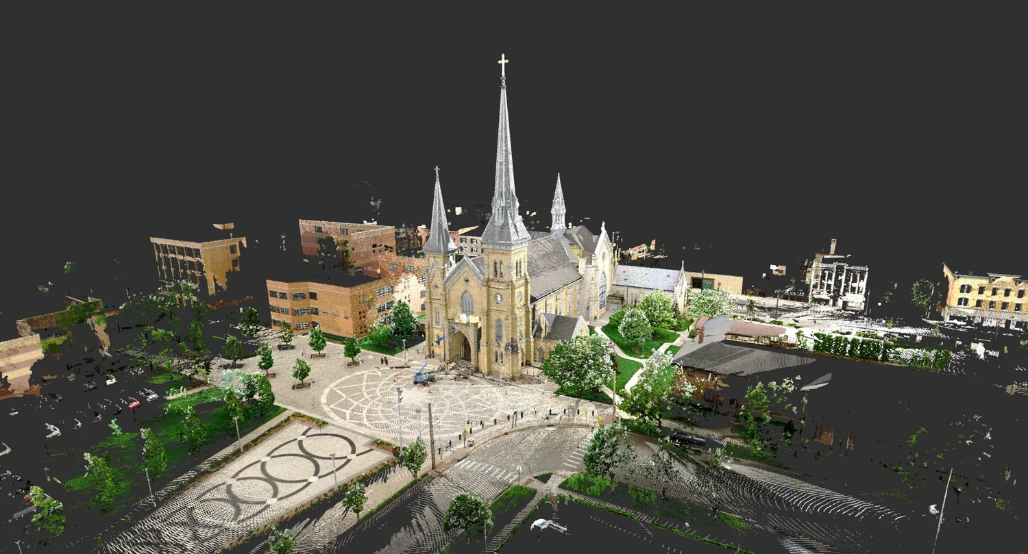
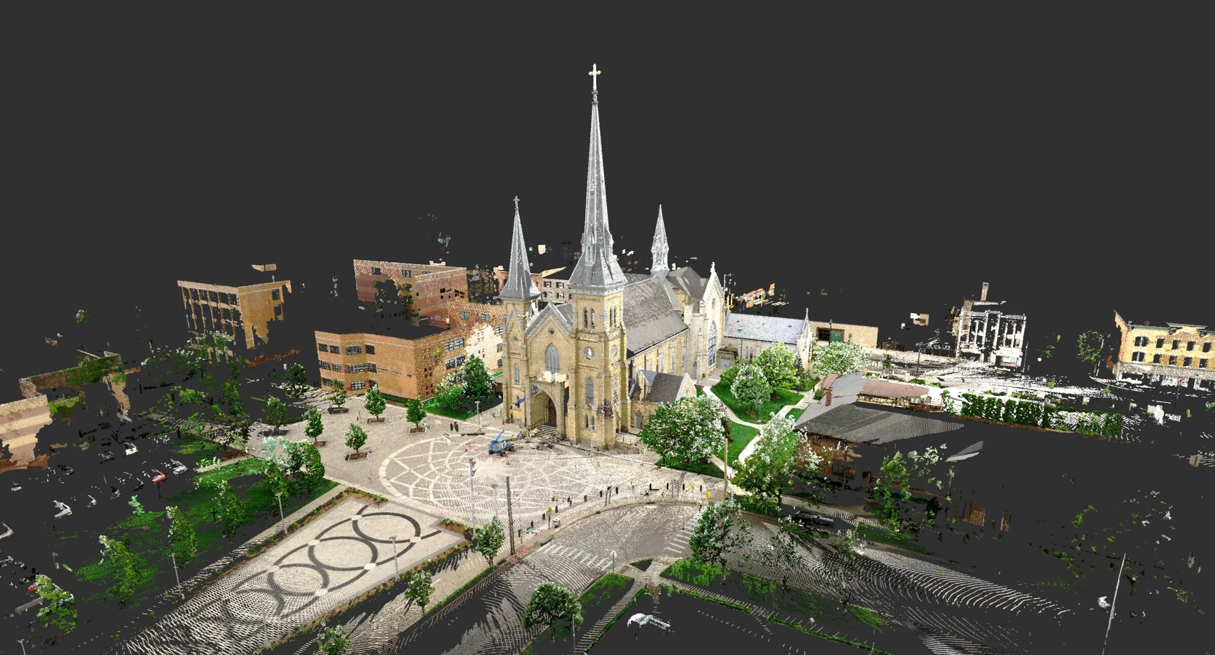
720's Point Clouds are "digital twins" of your space. Point Clouds are essential, serving as a basis for Virtual Reality, 3D Post Scan Measurements, Massing Models, Photo Realistic View, 2D Drawings, and more. Our 3D Scanning Engineer provides these deliverables, alleviating you from the challenging and technical work.
BIM Models
Bring 2D Drawings to life with a BIM Model. Allow 720 to establish a clear visual relationship with your project while displaying support structures, wall locations, MEP, and more. Digital Models define the spatial and form relationship within the space.
2D Drawings
2D Drawings establish a set of precise as-built documentation. From architect to project manager, 2D Drawings are accurate and functional to take exact measurements from.
3D Post Scan Measurements
Measure any component of your site from any location in the world. No need to be on-site with 720's 3D Post Scan Measurements. Our team ensures that no detail of your job site goes unmeasured.
Drone Services
Elevate your aerial knowledge through drone footage. Aerial documentation allows residences to view a property as a whole as it connects to amenities and surroundings. Capture building and neighboring areas, displaying the location's atmosphere while highlighting amenities, landscape, balconies, parking, building entrances, and exits.
Virtual Tours
Have any space at your fingertips with one click. Access, share, and walk through any space unlimited times with 720's AI technology. Easily access any space with a phone, tablet, or computer without stepping foot on site. View floor plans, perspective dollhouse view, or walk through the space with hotspots.
360° Photos
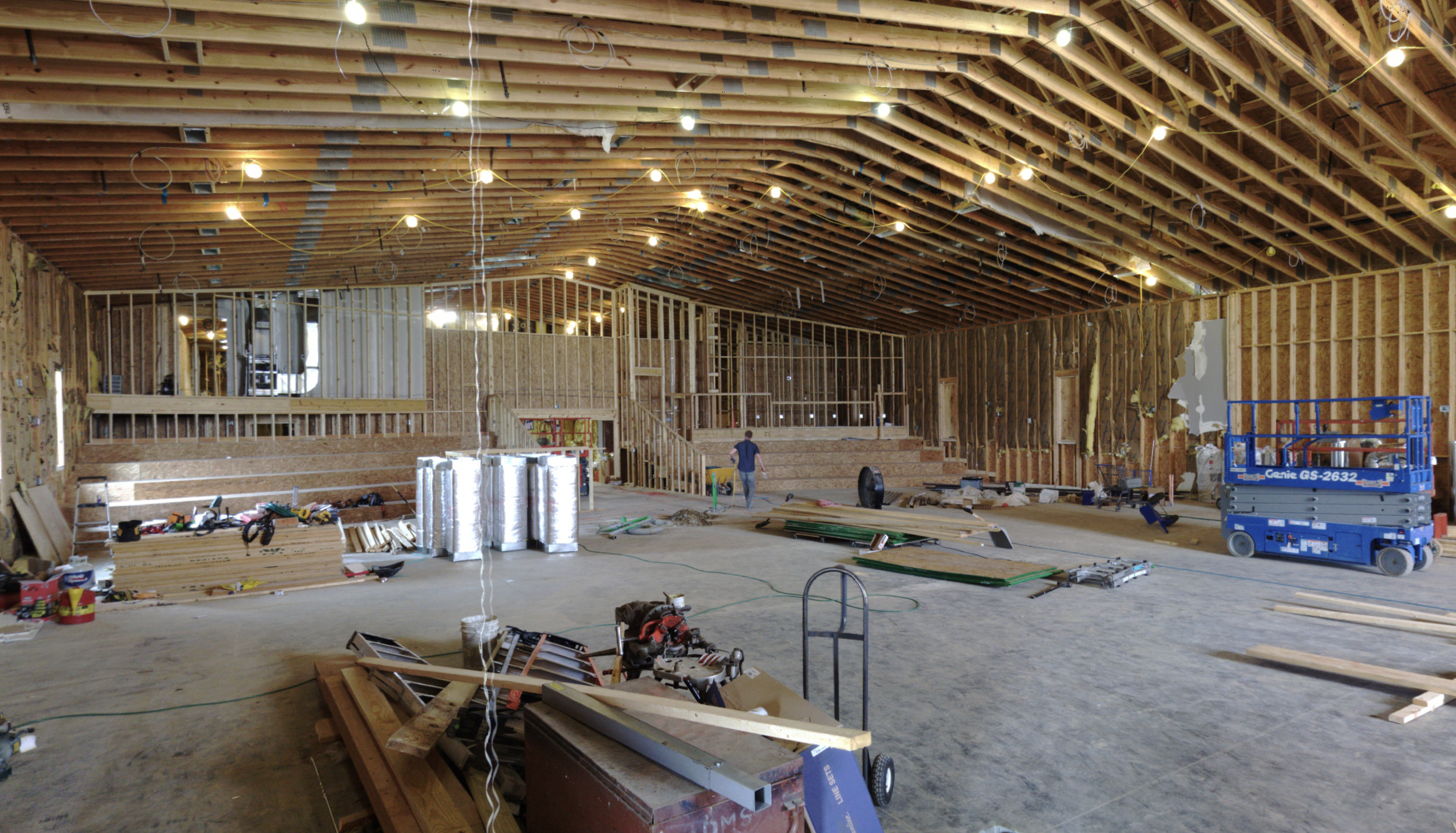
Explore limitless possibilities with 360° Photos. Pair with Virtual Reality technology, measure dimensions from any location and visualize the site from any perspective with photo reals.
Virtual Reality
720 allows you to experience your space from any location in the world. Virtual Reality scans allow you to fly through your space to experience the scale. Measure exact dimensions, build models, and more. Explore the space, walk through the structure, and understand the experience users will have.
Software Deliverables Preview
Ready to Get Started?
Let's discuss how 3D scanning can elevate your next project. Our team is ready to provide a custom solution for your needs.